How AI is supporting biodiversity projects across Europe
Published on: June 19, 2025
There are many business opportunities related to biodiversity. Nature tech presents new opportunities that not only address biodiversity challenges but also contribute positively to the environment. By leveraging AI-driven tools, satellite imagery, and sensor networks, it’s possible to develop solutions that help reduce pressure on nature or are regenerative and give back more to nature than they take. Collecting relevant data is essential for businesses to identify impacts, dependencies, costs and benefits and minimise risks in their decision-making.
In the digital space there are lots of new solutions for evaluating biodiversity. AI-driven tools, satellite imagery, and sensor networks are enabling us to track species, populations, ecosystem changes and habitat loss more effectively. Drones are being used to monitor the development of vegetation, especially in areas that are difficult to reach. Also, drones are being used to spot bird nests (meadow birds) and roe deer fawn.
AI-powered image recognition has transformed citizen science internationally, with mobile apps such as Seek, Pl@ntNet, OBS Identify and Merlin all harnessing the power of AI to help non-expert users accurately identify, and more importantly, record the plants and animals they see. This has major ramifications for different countries’ ability to collect data about species distributions and population sizes.
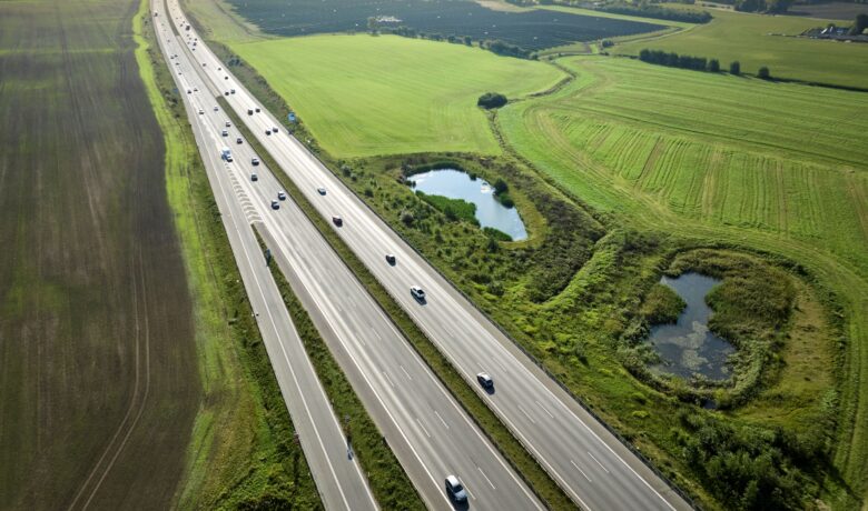
In Denmark, Sweco is using digital tools for more efficient ecological data collection. Sweco has used camera traps for otter and birch mouse and sound recordings of bats in several projects for The Danish Road Directorate, namely in the Environmental Impact Assessments of new and upgraded highways.
For a long time, satellite data has for a long time been important in monitoring habitat loss and fragmentation, but this has often focused on tropical deforestation. This is changing. For example, the newly developed OPERA Land Surface Disturbance Alert (OPERA DIST-ALERT) is a monitoring system that uses satellite data to provide near-real-time detection of disturbances in all types of vegetation around the world. Satellite images and aerial photographs with IR-sensors are also being used to measure the amount of green space in cities.
AI is also being incorporated into emerging platforms designed to quantify the value of site biodiversity and quantify the impact of human interventions on biodiversity.
Other ways that digital tools and AI are being used to support biodiversity work include creating biodiversity digital twins to model conservation strategies, using AI to analyse camera trap footage for particular species, and using AI for acoustic monitoring of species. Enabling new approaches for detecting bat echolocation calls and recognising bat species in audio spectrograms is crucial.
Researchers across all of Europe are training AI systems to help raise classification accuracy that can be used during live recording or in an automated post-processing software. Digital tools are also being developed to allow open access to national environmental data, as has been done, for example, in Norway.
Mapping biodiversity hotspots in Sweden
In Sweden, Sweco mapped Gotland’s potential alkaline fens using remote sensing of orthophotos as well as other available geodata. Alkaline fens are wetlands that are very important hotspots for biodiversity, providing a home to many endangered species. The analysis was produced using AI modelling and machine learning algorithms.
The results indicated where alkaline fens with potentially high natural values could exist and vice versa, where overgrowth had gone so far that the natural values were likely to be low. This helps the County Administrative Board in planning biodiversity enhancing measures for the region.
