An urban vision for Eindhoven
Mooi Mathilde
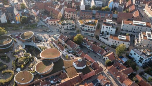
In the Dutch city of Eindhoven a significant transformation is taking place, with new modern neighbourhoods emerging. However, an important part of the city seems to be receiving less attention. Running from the city centre towards the newly established area Strijp-S, the railway zone, a place where people have not lingered longer than necessary, now has a lot of potential to connect these two areas. Urban development is key.
Facts about the project
Place
Eindhoven, the Netherlands
Status
Ongoing
Urban development transforming the railway zone
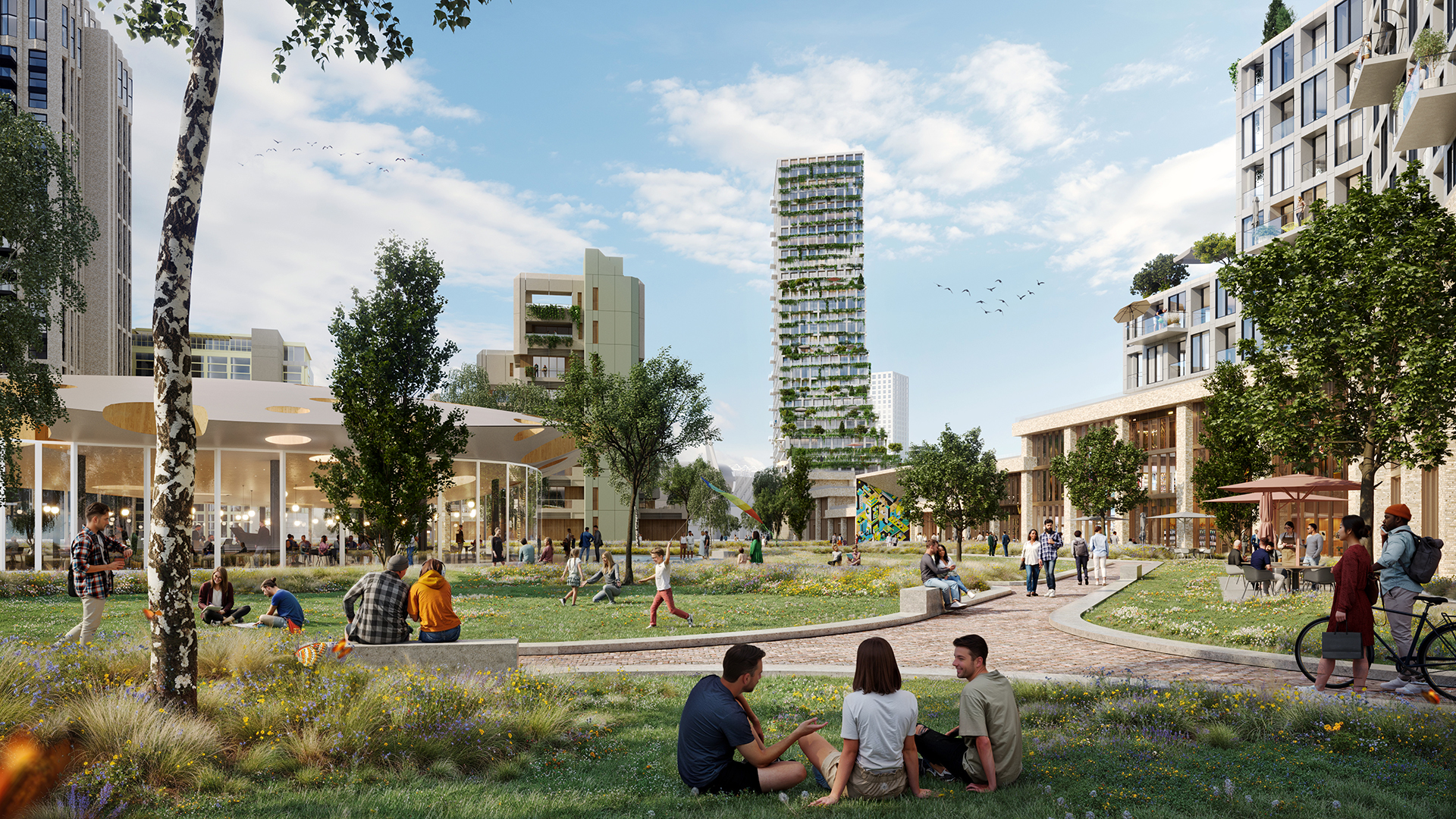
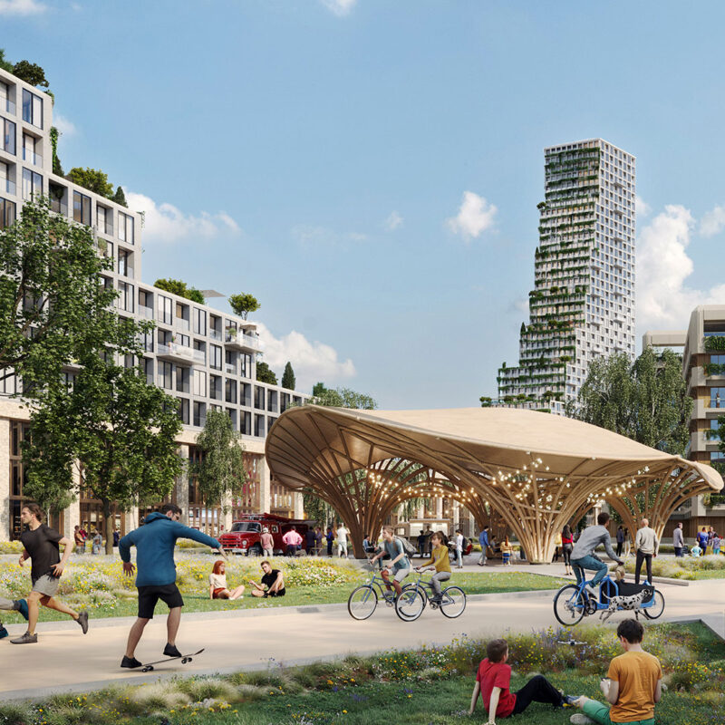
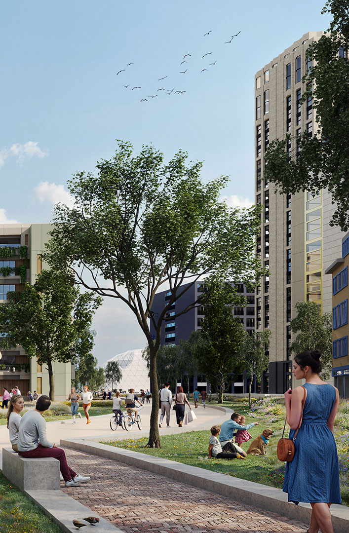
Sweco’s architects have developed a new urban vision for this area called Mooi Mathilde, in English ‘Beautiful Mathilde’. The urban vision consists of a green structure featuring various stepping stones. These include squares, pavilions and buildings, all aimed at improving the quality of life in the area. By keeping cars away and introducing a slow traffic route through green spaces, we enhance the connection for pedestrians and cyclists.
Transforming iconic buildings and public spaces
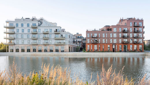
The police station will move its operations to more modern premises, but the characteristic building itself will be preserved and transformed into a residential one and become part of the collection of iconic buildings in Mooi Mathilde. The new area also includes two pavilions with space for cultural activities. Behind these buildings and following the railway track, space will be created for commercial operations and approximately 50,000 m² of residential construction. The combination of this urban design and public space will form the new City Park.
A new hub for cyclists and pedestrians
The busy intersection in front of the Philips Stadium, home of PSV Eindhoven, will disappear as the various traffic flows will be separated and this will way make way for a public square. This is made possible by extending an existing tunnel and restricting cars. Cyclists and pedestrians will be at ground level, while cars will be underground. The new PSV Square will accommodate supporters before and after matches, but it will also function well on non-match days due to the surrounding commercial activities in the buildings along the railway.
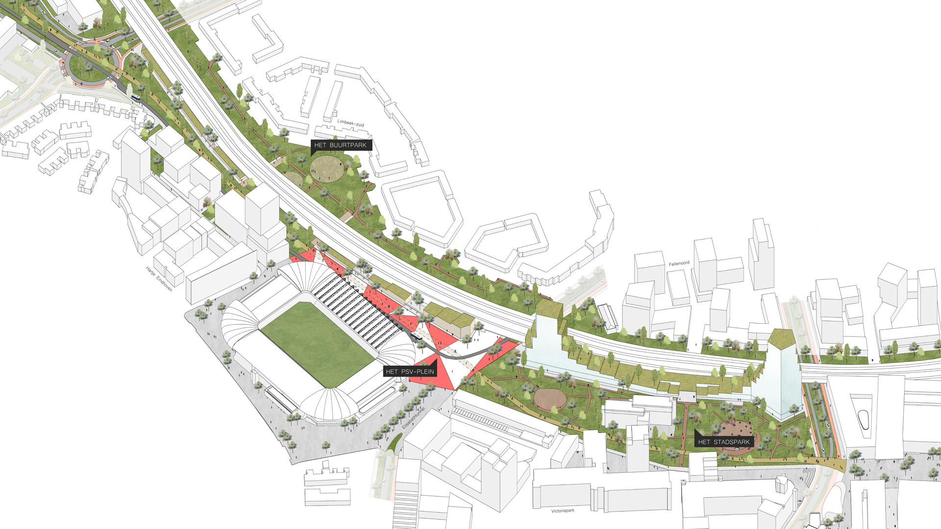
Enhancing greenery and urban design
The third part of the plan consists of the Buurtpark, in English, the ‘Neighbourhood Park’, being the final stepping stone between the city centre and Strijp-S. Here, the available space becomes narrower, resulting in more greenery being added. To enhance this green impulse, an underpass has been created running under the railway track with various amenities for sports and play. At the edges of this newly established connection, there is space for hospitality and commercial activities.